
Time for another walk in the Rockies, this time Chapin Pass from : 40.4348, -105.7305 another stunning hike.

The pass and back is about 3.5Miles, not so far, but at 11,200ft the thin air makes it a good work out.

We started pretty early, and off season, I imagine parking gets difficult.

And even though it was 88F in the valley, it was bitter cold with the wind chill.

I think we got some sleet at some point. There's a reason these hills stay green ;)

As we left the shelter of the trees the wind was gusting about 45mph.

That made taking a steady picture a challenge. Chapin pass is a scooch over 12,000ft, from there facing south east you can see Estes Park, and the plains on a clear day.

On the way back down I took the lower more sheltered route.

Above the Alpine visitors center anchored into the mountain. To the right Ypsilon Mountain and the Mummy range.

back down to tree line.

Beautiful meadows.

stunning.

Elephant flowers.

Well nourished Elk, winter is not far away.

Down the west side of the park are some more different formations. Poudre Lake and Milner rocks.

Fly catcher (I think)

At lake Irene.

Milner rocks again.

 Time for a wonder in the hills. This time Mount St. Vrain, a relatively short and steep hike ~3.5hrs
 I went up the rocky creek route, the trail is sometimes tricky to follow, of course easy with a GPS. The wild flowers were out in full.

 Still a little snow in north facing pockets, but definitely well passed max melt.

 Leaving the house the temps were ~90'F on top blowy and ~50'F. great views even though it was hard to stand up in the gusts. This is looking south at Paiute Peak across Peaceful valley and Coney flats.
 Ogalalla Peak (left) Copeland center, and Isolation peak back right.
 Longs Peak (left) and Meeker (right).
 Buchanan pass trail. Pettingell peak in the back ground.
 Paiute peak and Shoshoni over its shoulder.
 Yellow paintbrush just below Vrain peak.

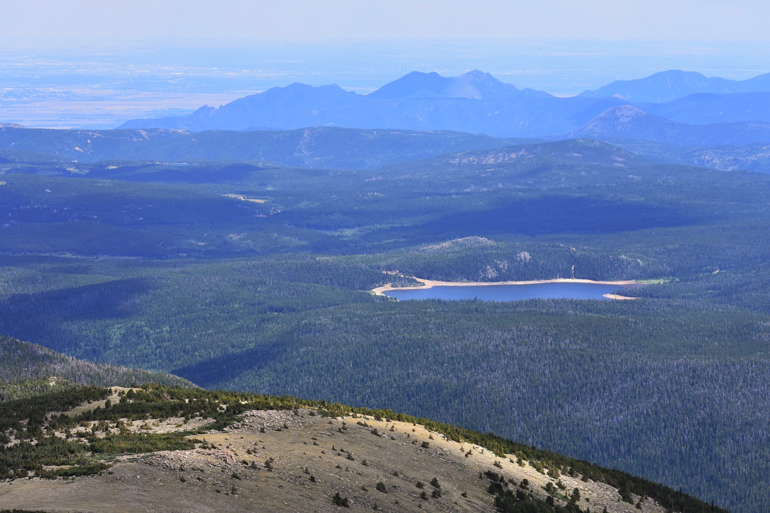 Looking over the Flatirons and boulder onto the plains. Beaver reservoir in the foreground.
 Scarlet paintbrush in an alpine meadow with some daisies. Back down to the truck from here.


