
Not quite the trip I had planned, we entered the park on MLK day and as such, there was no fee. Sure enough the parking lots were all full with lines of folks waiting for a spot, and others turning around. So plan B, we turned around and parked at Sprague Lake a couple miles back. This would mean an extra 4 miles walk, hmmm, so I picked a new route (using the free National Park Map). The Original plan had been to walk up to Black Lake and back, (south) from the Bear Lake parking lot.

Instead we hiked the blue tracklog (anti-clockwize). There were a few different varieties of woodpecker near Sprague Lake. I Didn't expect to see them in the depths of winter at this elevation. It was however a bright warm sunny day.

The trail started off well trodden (packed snow), so no need for snow shoes or even crampons.

It took over an hour to get to the original planned hike origin, pretty good views though.

I had never seen jack rabbit tracks in the snow before, not something I'd seen or expected up there. But of course they cannot migrate like birds do ;)

Crossing Prospect Canyon.

Some pretty cool snow formations from the different storms we've had this season.

Pretty close to the Glacier Gorge junction.

By the frozen Alberta Falls.

Soon after that we turned on North Longs Peak Trail. This is where the going got so much tougher. The trail was tough to trace through the snow.

After this bridge the going got even tougher.

Full confession I've not done much snowshoeing before, and I think previously it was a novelty walk.

This hike was quite a bit more serious. More so than the original plan. I did have a GPS/transponder with the trail mapped on to it, but traversing across a powder slope is hard work, like a steep sand dune in clown shoes. We've all been there! ahaha.

There were moments of nice views and obvious signs we were on a trail. We left the snowshoes on though after taking them off once. The time isn't saved, and without them, the snow quickly came up to hip level. It is then, really tough to get the shoes back on.

We peaked at somewhere around 10,300 ft. With clouds moving in, and being on the north side of a 14er, the shadows were getting long. Temperature was good though, right around freezing.

Battle Mountain and Lady Washington in the background, picture is a bit blurry on account of planting my face in the snow after sliding while climbing a snowdrift.

Plodding along, the trail looks down sloping, but it wasn't. After this we got the hurry ups, So now more pictures. It was getting dark and we had a long way to go with the arduously slow progress. The downhill was also quite challenging but progress picked up. We arrived back at the truck perhaps 20mins after complete darkness. (other than our flash lights).

 Time for a wonder in the hills. This time Mount St. Vrain, a relatively short and steep hike ~3.5hrs
 I went up the rocky creek route, the trail is sometimes tricky to follow, of course easy with a GPS. The wild flowers were out in full.
 Still a little snow in north facing pockets, but definitely well passed max melt.
 Leaving the house the temps were ~90'F on top blowy and ~50'F. great views even though it was hard to stand up in the gusts. This is looking south at Paiute Peak across Peaceful valley and Coney flats.
 Ogalalla Peak (left) Copeland center, and Isolation peak back right.
 Longs Peak (left) and Meeker (right).
 Buchanan pass trail. Pettingell peak in the back ground.
 Paiute peak and Shoshoni over its shoulder.
 Yellow paintbrush just below Vrain peak.
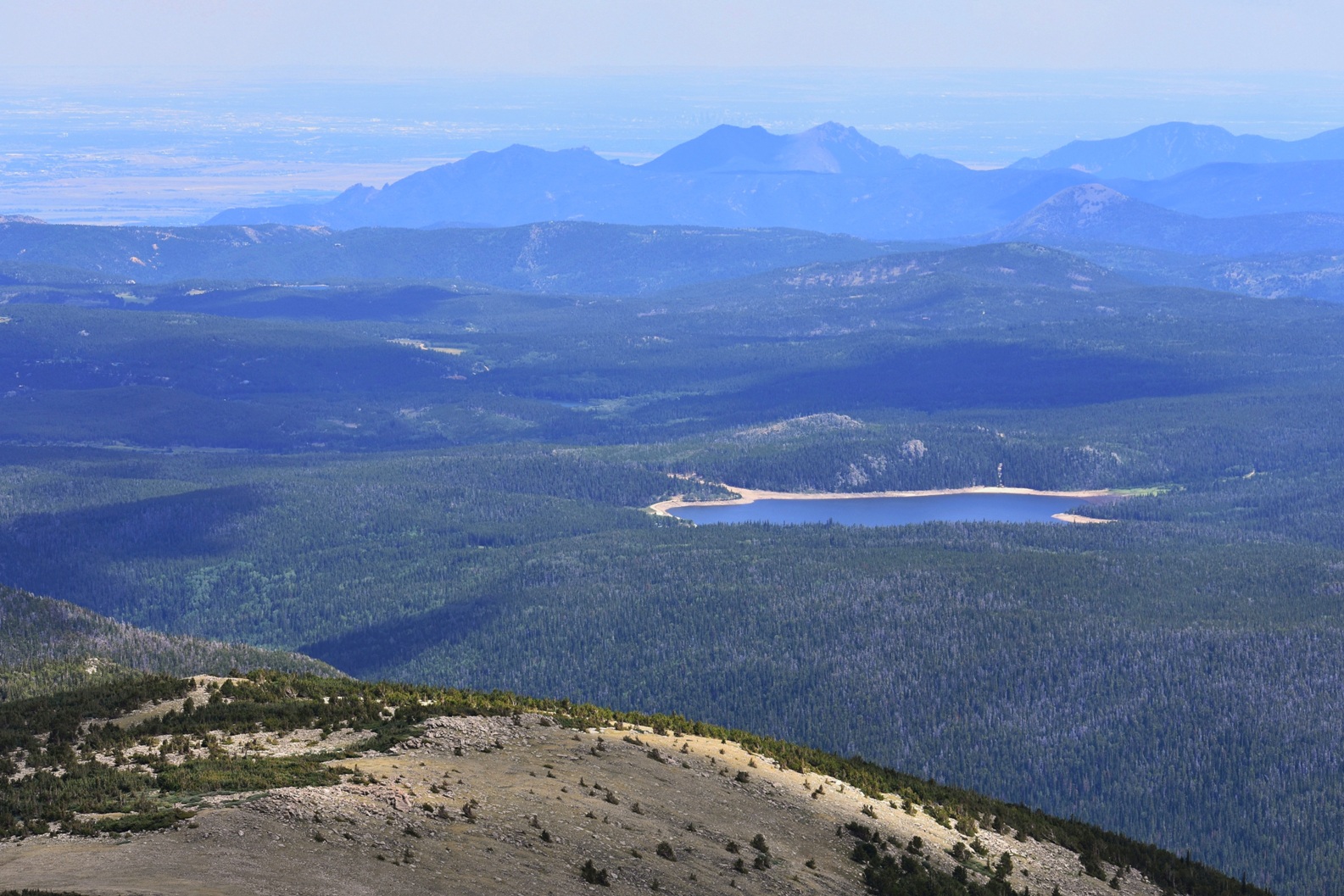 Looking over the Flatirons and boulder onto the plains. Beaver reservoir in the foreground.
 Scarlet paintbrush in an alpine meadow with some daisies. Back down to the truck from here.


